

| Total Highway 1 length | ~656 miles (California Department of Transportation) |
| Big Sur coastal stretch | ~90 miles |
| Realistic LA to SF driving time | 3-4 days at a scenic pace |
| Cell service availability in Big Sur | Very limited; plan offline navigation |
| Peak closure risk season | November through April (storm season) (Caltrans) |
| Road condition resource | Caltrans QuickMap (quickmap.dot.ca.gov) |
What PCH Actually Is (and Isn't)
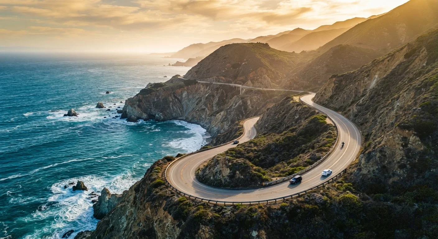
The term "Pacific Coast Highway" gets used loosely. Technically, Highway 1 is the state road that hugs California's coastline for roughly 656 miles, running from Dana Point in Orange County north to Leggett in Mendocino County. The stretch most travelers mean when they say PCH - the iconic, cliff-side portion - is the Big Sur coast, spanning about 90 miles between San Luis Obispo County and Monterey County.
That distinction matters for planning. The highway through Malibu or Santa Barbara is a genuine pleasure but not technically challenging. Big Sur is another thing entirely: narrow lanes, sheer drop-offs, frequent rockslides, and stretches with no cell service for miles. Knowing which segment you're driving changes how you prepare.
| Total Highway 1 length | ~656 miles (California Department of Transportation) |
| Big Sur coastal stretch | ~90 miles |
| Realistic LA to SF driving time | 3-4 days at a scenic pace |
| Cell service availability in Big Sur | Very limited; plan offline navigation |
| Peak closure risk season | November through April (storm season) (Caltrans) |
| Road condition resource | Caltrans QuickMap (quickmap.dot.ca.gov) |
Road Conditions and Closures: The Reality
Big Sur's geology makes Highway 1 one of the most frequently interrupted roads in the country. Rockslides, mudslides, and washouts have closed significant segments for months - sometimes years - at a time. The Pfeiffer Canyon Bridge collapse in 2017 closed the highway for over a year. Closures of shorter durations happen every winter.
Before any trip, check Caltrans QuickMap (the official California Department of Transportation traffic tool) for current conditions and closure advisories. Cal Fire and Monterey County also publish road updates during storm season. Do not rely on mapping apps alone - they sometimes route you onto closed segments.
Road width is another honest consideration. Many stretches are two lanes with no shoulder. Passing an RV or tour bus on a blind curve above the ocean is a routine occurrence, not an anomaly. Drivers who aren't comfortable with that scenario should factor it into timing or consider a northbound route (keeping them on the inland side of the lane).
Realistic Driving Times
The full Highway 1 from San Diego to Leggett is theoretically driveable in two days - but that's not a road trip, it's a transit run. Most travelers focus on the Los Angeles to San Francisco segment, which covers roughly 400 miles. Mapping apps often estimate 7-8 hours; add 40-60% for a realistic pace that accounts for pullouts, traffic through Malibu and Santa Barbara, and the unavoidable slow crawl through Big Sur.
A three-to-four-day itinerary is the sweet spot for doing the LA-to-SF run without feeling rushed. Budget at least a full day for Big Sur alone. If you're new to multi-day road trips, the overnight logistics here deserve extra attention - lodging in Big Sur is limited and books out months in advance, especially on summer weekends.
Sunset driving on PCH looks beautiful in photographs and is genuinely treacherous in practice. Glare, low visibility on curves, and increased wildlife activity at dusk make daytime driving the safer and more scenic choice.
What Makes Each Segment Distinct
Understanding the highway's distinct zones helps you prioritize:
- Malibu to Santa Barbara: Accessible, beach-lined, and heavier with traffic. Great for a day drive; less dramatic scenically than points north.
- San Luis Obispo to Carmel (Big Sur): The signature segment. Bixby Creek Bridge, McWay Falls, elephant seal colonies at Piedras Blancas. Infrastructure is sparse - gas up before entering.
- Monterey to Santa Cruz: More developed, with a working harbor town feel and renowned marine research institutions nearby. Easier logistics.
- Bodega Bay north into Mendocino: Dramatic but undervisited. Cooler, foggier, and more rugged - a different personality than southern PCH entirely.
Each zone rewards a different type of traveler. Someone chasing cliffside drama wants Big Sur. Someone who prefers coastal towns with good restaurants and reliable lodging will be more comfortable from Monterey northward.